top of page
Search


Norton to Caswell via The Wales Coast Path - Gower
Norton - Mumbles - Langland - Langland Bay - Snapple Point - Newton Cliff - Summercliffe - Caswell Bay Distance: 2.8 miles (4.5 km) Max elevation: 61 m Total Ascent: 143 m Total Descent: 156 m Track points: 493 Setting out from the village of Norton and taking Castle road directly south, following on via Limekiln road and passing Mumbles Baptist Church, the route ascends Langland road to reach the village of Langland. Descending Rotherslade road, quickly brings into view the
Graeme Stoten
Apr 171 min read


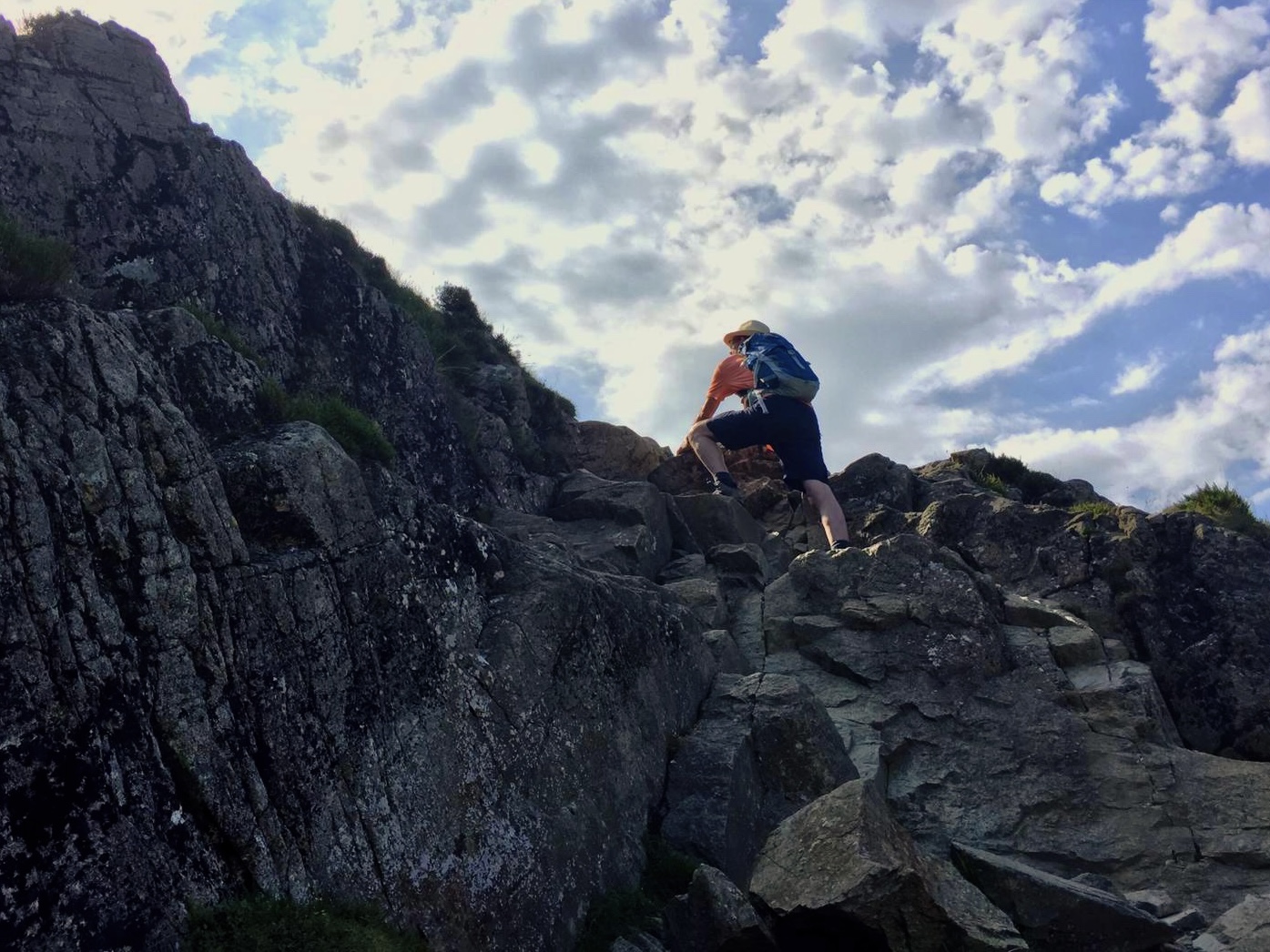
Oxwich Bay Nature Reserve Circular - Gower
Oxwich (Beach Car Park) - Oxwich Bay - Nicholstan Woods - Nature reserve - Dunes - Oxwich Bay - Oxwich Distance: 4.7 miles (7.5km) Max elevation: 65 m Total Ascent: 221 m Total Descent: 219 m Track points: 720 This popular circular or figure of eight walk explores the Oxwich Bay nature reserve utilising the Wales Coast Path. Upon our arrival the tide was very low so set out to walk along the firm beach before arriving at Nicholstan Woods. Passing the Burrows and the Dunes,
Graeme Stoten
Apr 171 min read


Porth Dinllaen circular - Snowdonia
Distance: 4.6 miles ( 7.4 km) Total Ascent: 135 m Total Descent: 145 m Max. Elevation: 42 m Track Points: 987 Mona Nefyn - Port Dinllaen Farm - Amber Geirch - Nefyn and District Golf Club - Borth Wen - Trwyn Porth Dinllaen - Ty Coch Inn Porth Dinllaen - Wales Coast Path - Penrhyn Nefyn
Graeme Stoten
May 31, 20251 min read


Nantmor - Llyn Dinas - Beddgelert circular - Snowdonia
Distance: 5.6 miles (8.9km) Total Ascent: 459 m Total Descent: 465 m Max. Elevation: 296 m Track Points: 1285 Nantmor - Cwm Bychan - Bwlch-y-Sygyn - Grib Ddu - Afon Goch Llyn Dinas - Affon Glaslyn - Sygun Copper Mine - Ty hen - Beddgelert - Welsh Highland Railway - Aberglaslyn
Graeme Stoten
May 31, 20251 min read


Brecon Beacons: Pontsticill & Pentwyn Reservoir circular.
Dolygaer road-bridge - Pontsticill Reservoir (clockwise) - Pentwyn Reservoir (clockwise) - Dolygaer Activity Centre Distance: 7.8 miles...
Graeme Stoten
May 11, 20251 min read


Brecon Beacons: Pen y Fan circular
YHA Brecon Beacons - Taff trail - Stoney Arms Centre - Beacons Way - Pen y Fan - Corn Du - Cambrian Way - Taff trail - YHA Brecon...
Graeme Stoten
May 11, 20251 min read


Brecon Beacons: Craig Cerrig- gleisiad circular
Stoney Arms Centre - Taff trail - Craig Cerrig - gleisiad - Craig y Fro - Stoney Arms Centre Distance: 5.1 miles (8.8 km) Max....
Graeme Stoten
May 11, 20251 min read


North Pembrokeshire Coast Path: Day 4
Distance: 12.2 km ( 7.6 miles) Newgale Sands - Cwin Bach - Porthmynawyd - Ogof y Cae - Foxgloves - Aber Dwyrain - Dinas Fawr - Gwadn Leaving Newgate Sands the initial uphill climb denotes the character of this section of the onwards coast path to Solva. Reminiscent of the rougher stonier and more strenuous section before Newgale, the path twists and turns, descending and ascending frequently. The landfall is softer on the eye, much greener, bracken and wild flowers in abunda
Graeme Stoten
May 30, 20242 min read


North Pembrokeshire Coast Path: Day 3
Distance: 5.4 km (3.4 miles) Newgale Sands - Maidenhall Point - St. Brides Bay - Nolten Haven - Madoc’s Haven - Druidstone Beach - Druidstone Hotel A popular surfing beach and accessible to dogs, this 3km stretch of stoney beach is far more accessible at a lower tide. The cliff top path is reached with an initial steady climb but the panaoramic views that await across the bay once on high ground, are magnificent. Passing a disused mine, Noltan Sands and its delightful cove
Graeme Stoten
May 28, 20241 min read


North Pembrokeshire Coast Path: Day 2
Distance: 13.8 km (8.6 miles) St. Non’s Bay - Porth Fynnon - Porth Clais - Ogor Golchfa - Porthlysgi Bay This stretch of the coastline is magnificent, for the most part a gentle undulating clifftop path of compressed gravel and stone squeezed in between the cliff top edge and green kerbs of grass and wildflowers. Approaching the coastal path from St. David’s, the remains St. Non’s Chapel named after St. David’s mother and the ‘healing well’ mark the start of this section, a
Graeme Stoten
May 27, 20242 min read


North Pembrokeshire Coast Path: Day 1
Distance: 11.7 km (7.3 miles) Maen Dewi Farm - Llysernydd - Dwr Cleifion - Trevinert - Pont Clegyr Leading out to the coastline from Maen Dewi farm just north of St. David’s takes advantage of the public footpath that extends across the countryside skirting fields, marshes, small brooks and lakes. An infrequently used path at times was lushing overgrown with tall grass and cow parsley. However new styles and wooden braced steps allowed for good going. Taking the dirt track
Graeme Stoten
May 26, 20242 min read
bottom of page