Brecon Beacons: Craig Cerrig- gleisiad circular
- Graeme Stoten
- May 11, 2025
- 1 min read
Updated: May 31, 2025
Stoney Arms Centre - Taff trail - Craig Cerrig - gleisiad - Craig y Fro - Stoney Arms Centre
Distance: 5.1 miles (8.8 km)
Max. Elevation : 629 m
Total Ascent : 380 m
Total Descent: 378 m
Track points: 1006

Stoney Arms Centre (Taff trail) - Taff trail - View (W) to Cerrig hillside
Affon Tarell footbridge - Nature Reserve entrance - Cerrig approach path
Cerrig Gleisiad cirque - grassy approach path before climb - Bluebells
Ascent to 550 m - View (E) into cirque - Cairn at approx. 600 m

Ridge path (S) - View (NE) to Brecon - Approaching summit (629 m)
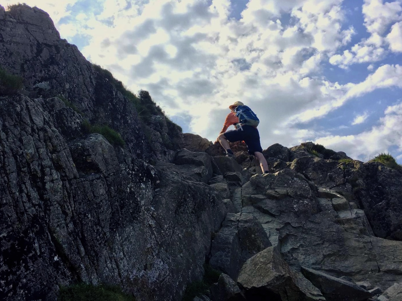
View (NE) over Libanus - Fan Fawr ahead - Crag on ridge path
Craig y Fro (A470) - Tyle Brith ahead - Solitary tree at stream crossing
Steady descent across Fro hillside - View back to Cerrig-gleisiad - Me at cirque


Comments