top of page
Search


Brecon Beacons: Pontsticill & Pentwyn Reservoir circular.
Dolygaer road-bridge - Pontsticill Reservoir (clockwise) - Pentwyn Reservoir (clockwise) - Dolygaer Activity Centre Distance: 7.8 miles...
Graeme Stoten
May 11, 20251 min read


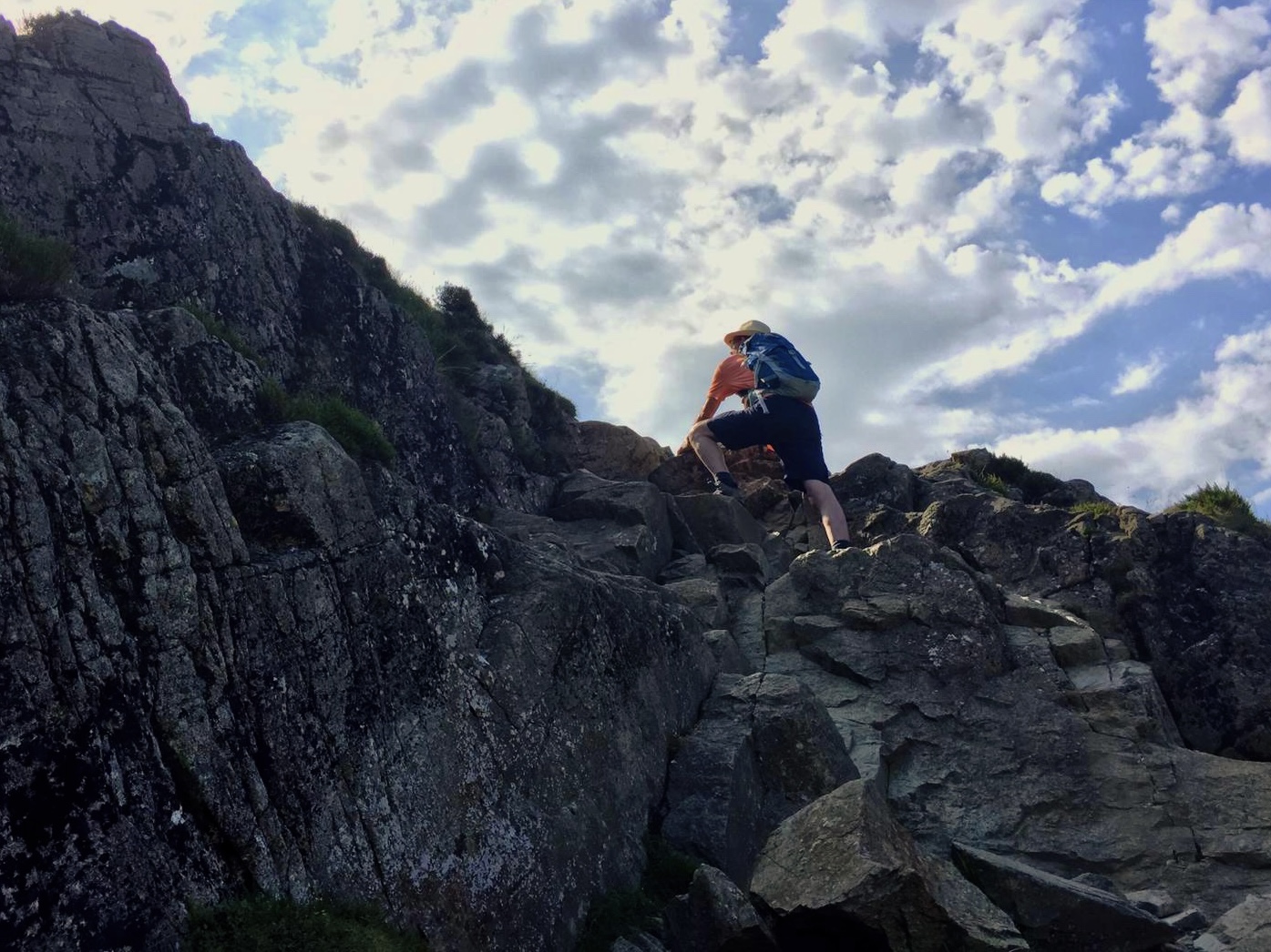
Brecon Beacons: Pen y Fan circular
YHA Brecon Beacons - Taff trail - Stoney Arms Centre - Beacons Way - Pen y Fan - Corn Du - Cambrian Way - Taff trail - YHA Brecon...
Graeme Stoten
May 11, 20251 min read


Brecon Beacons: Craig Cerrig- gleisiad circular
Stoney Arms Centre - Taff trail - Craig Cerrig - gleisiad - Craig y Fro - Stoney Arms Centre Distance: 5.1 miles (8.8 km) Max....
Graeme Stoten
May 11, 20251 min read


‘Taking to the Path’ - The North Downs Way: Section 3
Westhumble - Betchworth - Merstham (mainline stations) Distance: 10.9 miles (17.4 km) Max. Elevation : 235 m Total Ascent : 537 m...
Graeme Stoten
Apr 13, 20251 min read


‘Taking to the Path’ - The North Downs Way: Section 2
Guildford - Shere Woodlands - Westhumble (mainline stations) Distance: 16.1 miles (25.7 km) Max. Elevation : 220 m Total Ascent : 491...
Graeme Stoten
Apr 12, 20251 min read


‘Taking to the Path’ - The North Downs Way: Section 1
Farnham - Puttenham - Guildford (mainline stations) Distance: 13.4 miles (21.4 km) Max. Elevation : 123 m Total Ascent : 428 m Total...
Graeme Stoten
Apr 11, 20251 min read


Capturing The South Downs Way: Section 4
Cocking - Littleton Down - Houghton Bridge: 11.7 miles (18.7 km) A286 Hillbarn - Heyshott Down - Gadd’s Bottom (N) Cross Dykes (232m) -...
Graeme Stoten
Feb 20, 20251 min read


Clun to Craven Arms: Shropshire
Clun - Sunnyhill - Kempton - Hopesay - Sibdon Carwood - Craven Arms : 11.9 miles (19.1km) Max Elevation: 381m Mowdens - Beyond The Green...
Graeme Stoten
Aug 15, 20241 min read


Craven Arms to Wilderhope Manor: Shropshire
Craven Arms - Flounder’s Folley - Wenlock Edge - Wilderhope Manor - Longville in the Dale : 11.4 miles (18.2 km) Max Elevation: 335m...
Graeme Stoten
Aug 14, 20241 min read


The London Loop: reaching the outer limit - Stage 21
Havering-Atte-Bower to Harold Wood: 5.25 miles (8.5 km) Trail Landmarks Pyrgo Park - continuing on from the green after a break for...
Graeme Stoten
Aug 10, 20242 min read


The London Loop: reaching the outer limit - Stage 20
Chigwell to Havering-Atte-Bower: 7 miles (11.3 km) Trail Landmarks Upper Chigwell and Chigwell Row - Rejoining the trail at the junction...
Graeme Stoten
Aug 9, 20242 min read


Ullswater Way: UW3
Glenridding - Sandwick - Howtown : (Steamer from Pooley Bridge - Glenridding) Distance: 7.3 miles (11.7 km) Pooley Bridge Landing Stage...
Graeme Stoten
Jul 22, 20241 min read


Helvellyn via Raise and Whiteside
Glenridding - Birkhouse Moor - Glenridding Common - Raise - Whiteside - Lower Man - Helvellyn Cairn - Swirral Edge - Hole in the Wall...
Graeme Stoten
Jul 21, 20241 min read


Shaps Abbey: Circular Walk
Shap - Boggleby Stone - Shap CP - Thornship - Keld - Abbey Park - Shap Abbey - Skellaw Hill - Keld Lane Distance: 3.8 miles (6.1 km)...
Graeme Stoten
Jul 20, 20241 min read


‘Taking to the Path’ - The North Downs Way: Section 4
Mertsham - Whitehall Tower - Caterham Viewpoint - Oxted Distance: 8 miles (12.8 km) Max. Elevation: 238 m Total Ascent: 311 m Total...
Graeme Stoten
Jun 23, 20241 min read


North Pembrokeshire Coast Path: Day 4
Distance: 12.2 km ( 7.6 miles) Newgale Sands - Cwin Bach - Porthmynawyd - Ogof y Cae - Foxgloves - Aber Dwyrain - Dinas Fawr - Gwadn Leaving Newgate Sands the initial uphill climb denotes the character of this section of the onwards coast path to Solva. Reminiscent of the rougher stonier and more strenuous section before Newgale, the path twists and turns, descending and ascending frequently. The landfall is softer on the eye, much greener, bracken and wild flowers in abunda
Graeme Stoten
May 30, 20242 min read


North Pembrokeshire Coast Path: Day 3
Distance: 5.4 km (3.4 miles) Newgale Sands - Maidenhall Point - St. Brides Bay - Nolten Haven - Madoc’s Haven - Druidstone Beach - Druidstone Hotel A popular surfing beach and accessible to dogs, this 3km stretch of stoney beach is far more accessible at a lower tide. The cliff top path is reached with an initial steady climb but the panaoramic views that await across the bay once on high ground, are magnificent. Passing a disused mine, Noltan Sands and its delightful cove
Graeme Stoten
May 28, 20241 min read


North Pembrokeshire Coast Path: Day 2
Distance: 13.8 km (8.6 miles) St. Non’s Bay - Porth Fynnon - Porth Clais - Ogor Golchfa - Porthlysgi Bay This stretch of the coastline is magnificent, for the most part a gentle undulating clifftop path of compressed gravel and stone squeezed in between the cliff top edge and green kerbs of grass and wildflowers. Approaching the coastal path from St. David’s, the remains St. Non’s Chapel named after St. David’s mother and the ‘healing well’ mark the start of this section, a
Graeme Stoten
May 27, 20242 min read


North Pembrokeshire Coast Path: Day 1
Distance: 11.7 km (7.3 miles) Maen Dewi Farm - Llysernydd - Dwr Cleifion - Trevinert - Pont Clegyr Leading out to the coastline from Maen Dewi farm just north of St. David’s takes advantage of the public footpath that extends across the countryside skirting fields, marshes, small brooks and lakes. An infrequently used path at times was lushing overgrown with tall grass and cow parsley. However new styles and wooden braced steps allowed for good going. Taking the dirt track
Graeme Stoten
May 26, 20242 min read


The London Loop: reaching the outer limit - Stage 19
Chingford to Chigwell: 4 miles (6.4 km) Trail Landmarks Chingford Plain - Picking up the path from the Holly Trail Cafe, the clear...
Graeme Stoten
May 15, 20242 min read
bottom of page