‘Taking to the Path’ - The North Downs Way: Section 3
- Graeme Stoten
- Apr 13, 2025
- 1 min read
Westhumble - Betchworth - Merstham (mainline stations)
Distance: 10.9 miles (17.4 km)
Max. Elevation : 235 m
Total Ascent : 537 m
Total Descent: 498 m
Track points: 1706

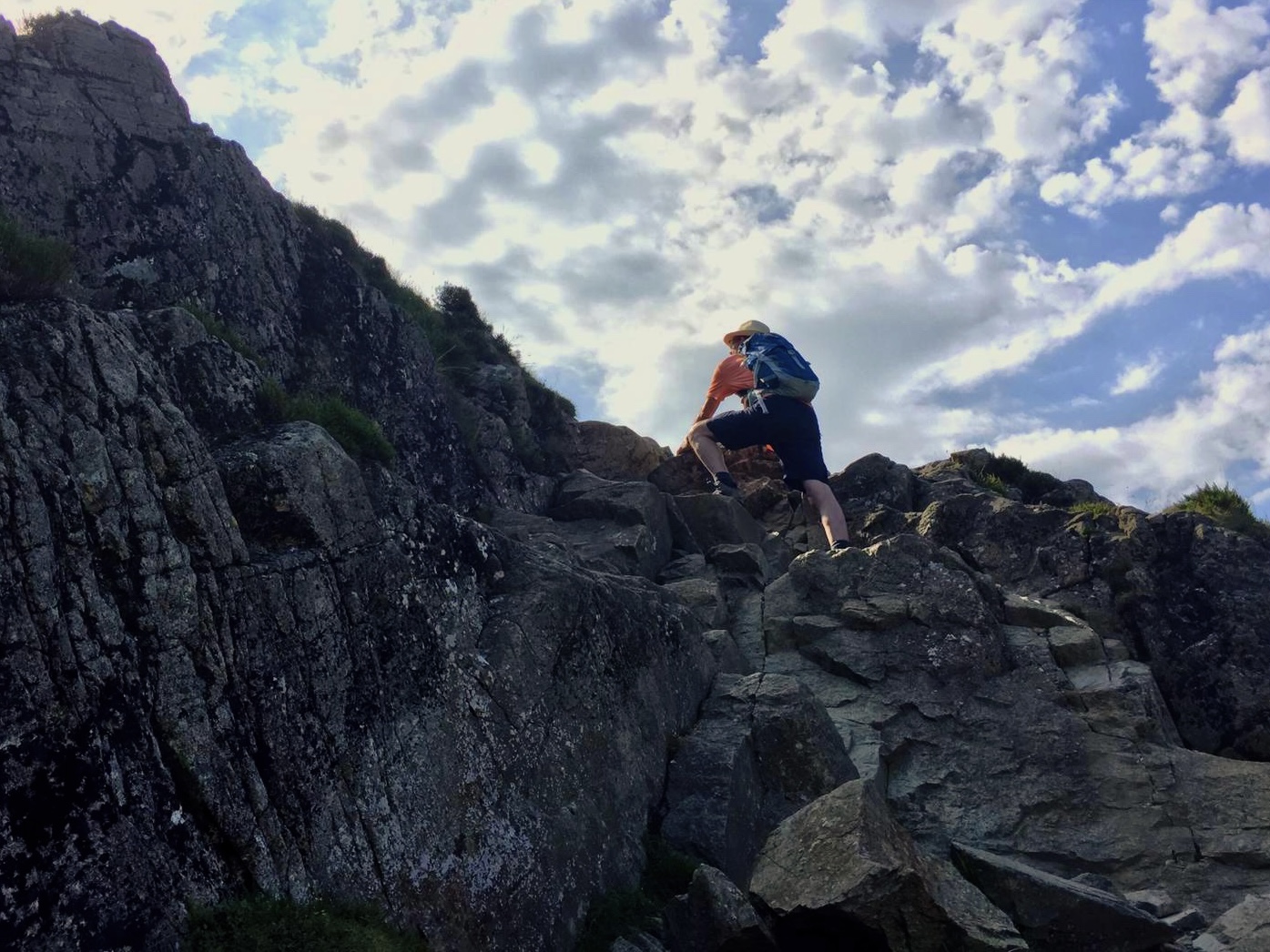
Stepping stones - Box Hill, Staircase to viewing platform - ascent flat
Final approach to platform - View (S) Pixham - Viewing Platform
View (SW) Dorking - Box Hill ascent to Box Hill Rd - Summit woode path
View (S) Betchworth Fort - Gulley path - Old man’s beard

Betworth Quarry and Lime Kilns - Apiary - Path along Poor’s Field
Appr. Dawcombe Wood - Steep ascent to Mogador and Colley Hill - View across Reigate
View (E) from Inglis Folley - Inglis Folley - Bomber memorial, Reigate Hill
A217 footbridge to Wray Lane car park - Cafe, View (S) Reigate - Appr. South Merstham


Comments