
Tideswell: Mam Tor - Peak District
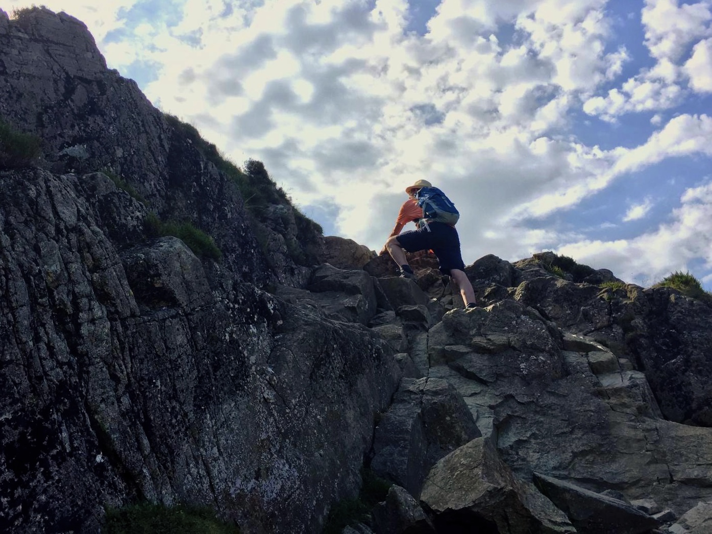
Hope - Castleton - Mam Tor - Hollins Cross - Lose Hill - Hope
Distance: 14.0 km (8.8 miles)
Max elevation: 517 m
Total Ascent: 537 m
Total Descent: 509 m
Tracking points: 1260

Hope (Pindale Road) - Footpath to Castletown - Peakshole Water riverside
Crossing service railway line - Farm field, Peveril Castle ahead - Mam Tor ahead
Peakshole Water - Castletown (Buxton Road) - Footpath (Historic Society)
Treak Cliff - Approaching Mam Tor - Mine (disused)

The Mam Tor problem - Trailhead Road - View (S) Hope Valley
Road slippage (Little Mam Tor) - Blue John Cavern - NT footpath to summit
Hope Valley from summit - Cold Side Ridge Path - Hope Valley
Barker Bank ahead - Great Ridge pavement - Further along ridge path

Ascent to Barker Bank - Back Tor in view - Ascent to Back Tor
Ridge path &Vale of Edale - Ascent to Lose Hill - Toposcope (summit)
View (SE) from summit - Laybrook Pasture - Round Plantation
Losehill Farm - Townhead (Edale Road) - Hope (Castletown Road), Woodroffe Arms


Comments