
Tideswell: Magpie Mine - Peak District
Taddington Wood - Deep Dale - Sheldon - Magpie Mine - Lower Farm - Little Shacklow Wood - River Wye riverside - Great Shacklow Wood - Taddington Wood
Distance: 9.1 km ( 5.7 miles)
Max elevation: 328 m
Min elevation: 141 m
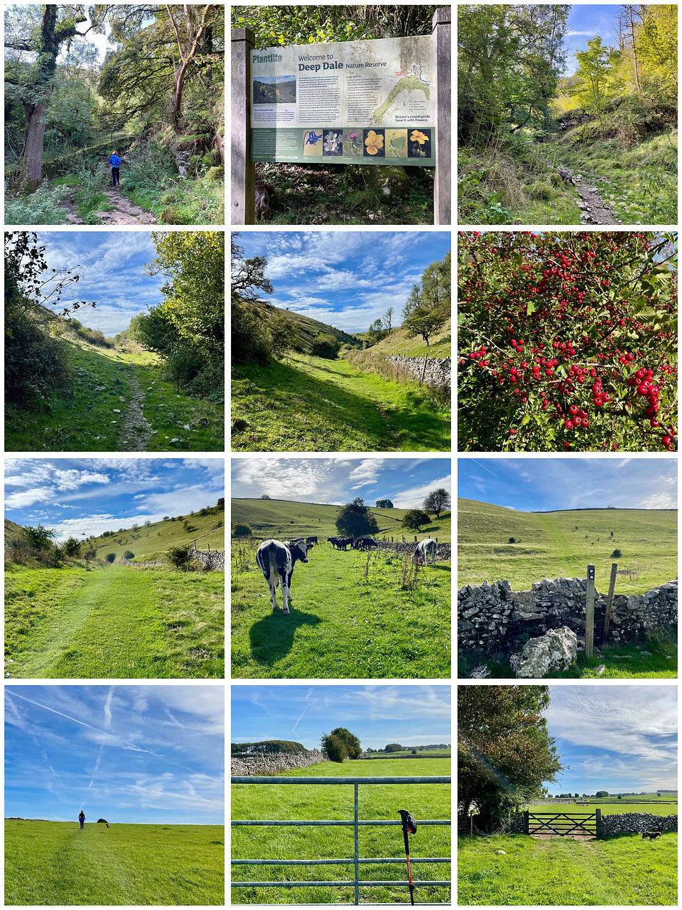
Taddington Wood (car park) - Deep Dale Nature Reserve - Dimin Dale
Deep Dale - Further into Deep Dale - Hawthorn berries
Emerging from Deep Dale - Cattle - Uphill climb out of Deep Dale (E)
Flat open pasture - Towards Sheldon, through enclosures - View (E) to Sheldon

Magpie (Lead) Mine in the distance - Dry stone wall - Manor House Farm Cottages
Main Street - View (S) to Magpie Mine - Top Farm field enclosures
Approach to Magpie Mine - Chimney stack - Cornish engine house ruin
Rear of engine house - Square Chimney & horizontal flue - Sheldon (Cock and Pullet)
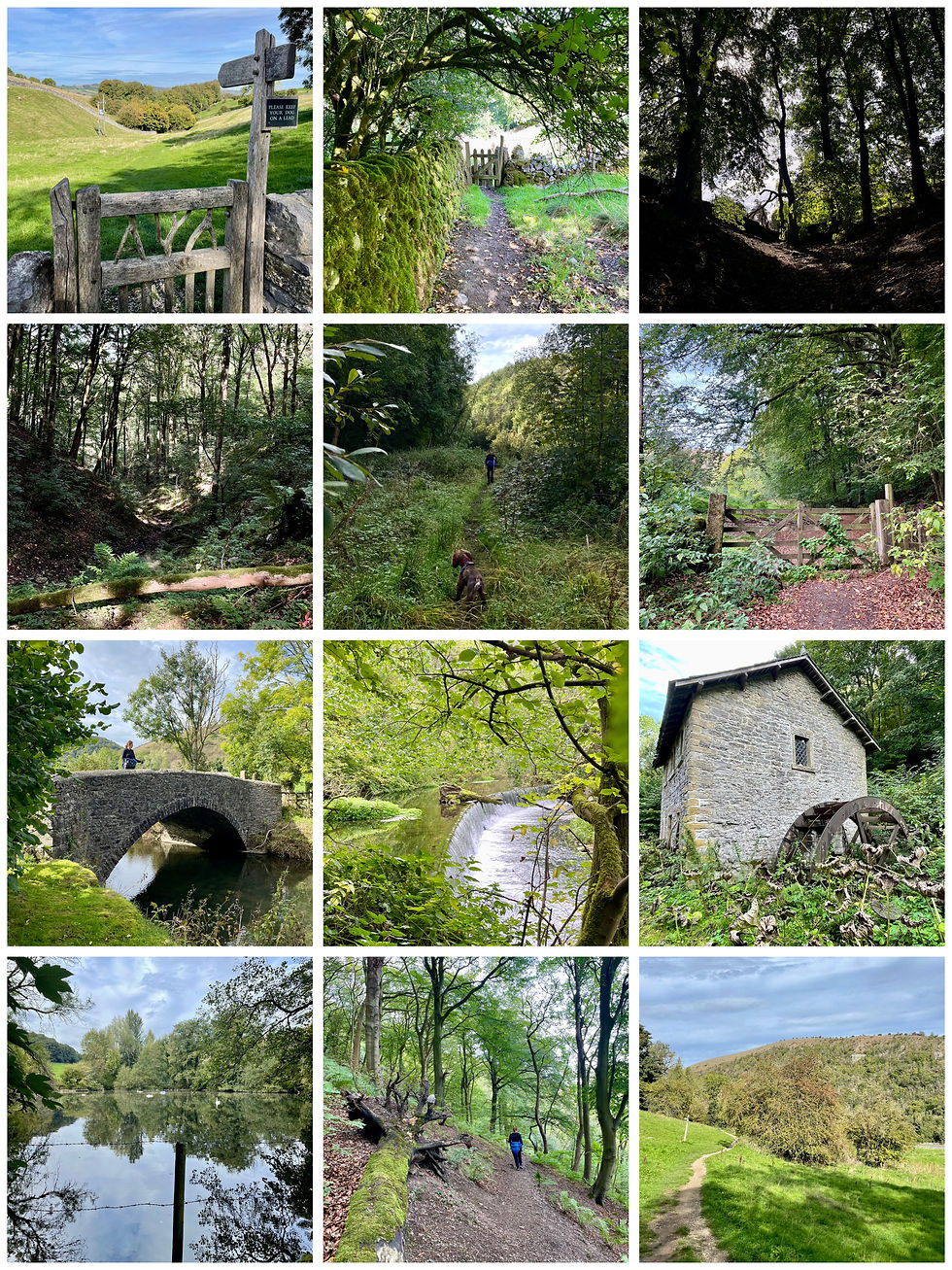
Lower Farm - Towards Little Shacklow Wood - Little Shacklow Wood
Woodland downhill path - Approaching River Wye - River path ahead
Stone road bridge to A6 - Weir - Derelict Mill
Spring ponds - Great Shacklow Wood - Taddington Dale

Comments