The London Loop: reaching the outer limit - Stage 16
- Graeme Stoten
- Sep 20, 2023
- 3 min read
Elstree & Borehamwood to Cockfosters: 11 miles (17.7 km)

Trail Landmarks:
Woodcock Hill Village Green - a small preferable diversion of the Loop itself, leads the route through this unusual village green space, an uphill climb with views to the North, through grassy fields and scrub yet with a clear path to follow. The Armada Beacon stands at the high point alongside Barnet Lane, not the original but was last lit to celebrate the late Queens 90th birthday.
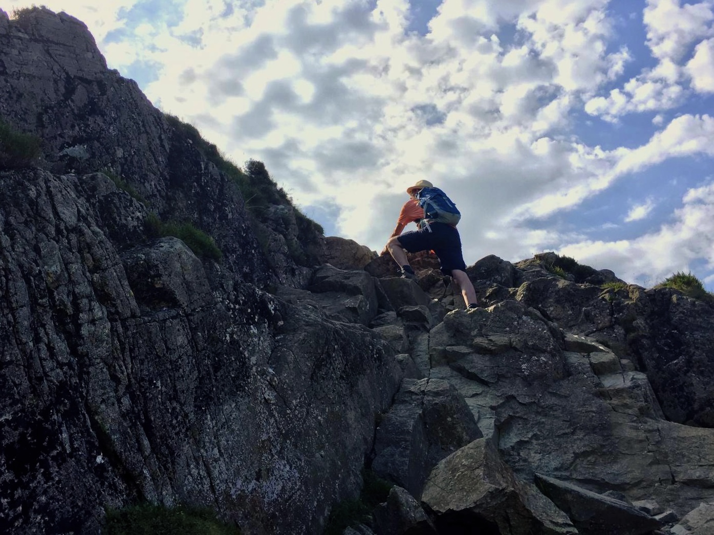
Scratchwood - entering the nature reserve, a tunnelled path breaks out into the woodland. Twisting initially then opening up into broader avenues, this well laid easy going path makes its way through this lovely tranquil 57 hectare kingdom of plant and wildlife. Passing the Open Space (Model Aeroplane Field) a lush grassy descent leads onto the A1 roadside and a sudden reminder of the arterial traffic that feeds into North London.
Moat Mount Open Space - negotiating the A1 via the underpass takes a mile to trudge back up to the entrance to Moat Mount, a necessary evil but forgotten once completed. This space takes the trail onto the Dollis Valley Greenwalk, a lovely sheltered path of mixed root and gravel alongside open fields with tantalising glimpses of hillside properties and the rolling countryside all around. Of particular note, the Greenwalk connects through to Hampton Garden Suburb and the Capital Ring trail, which I completed last year and can be found under its own category elsewhere in this blog.
Totteridge Fields - taking Hendon Wood Lane and passing the entrance to the Cholmeleians Sports Club and Ground, very clear signage leads the path into Totteridge Fields. A huge site at 97 hectares, and comprising principally of 3 large hay meadows, the path follows the hedgerows that adorn the Dollis stream. The atmosphere is blissful, a country walk that could easily be found in the Southern Eastern Shires of England, birdsong and insect life spring forth with no distant roar of traffic on the skyline.
King George's Playing Fields - whilst crossing the Dollis and into the suburbs of Barnet, the now unremarkable path crosses well mown grassland to eventually join tarmac footpaths to skirt along the river, at the Eastern end of which lies the entrance to Barnet Playing Fields. Taking Grosvenor Avenue and then Potters Lane (with a pit stop at the BP garage for snacks) the path turns into King Georges Fields. Once again an unusual description for an uphill climb through open grassy spaces, but with opportunities to rest and take in the fine Southerly views across Central London, it is one of 20 space dedicated to King George after his death in 1936.
Monken Hadley and Hadley Wood - leaving the Fields brings the path into Hadley Green, and the beautiful village of Monken Hadley with its many imposing yet grand and magnificent looking houses. Passing through the picturesque village and 15th C St Mary the Virgin Church, gates lead onward down Baker's Hill and adjoining Monken Hadley Common. Another pleasingly sheltered compressed gravel path which twist and turns amongst the woodland of oak and beech with branches to the Golf Course and Jacks Lake and a foot bridge crossing the Great Northern railway line. Finally emerging at the Cock Inn and a welcome restorative, the path takes Chalk Lane to find the Deco inspired Cockfosters underground station, final eastern outpost of the Piccadilly Line, so bringing this section of the Loop to a close.


Comments