The Dyke Railway Trail - The South Downs
- Graeme Stoten
- Mar 7
- 2 min read
Hangleton - Dyke Hill - Fulking Hill - Mount Zion - Foredown Tower - Hangleton
Distance: 7.1 miles (11.3 km)
Max elevation: 217 m
Total Ascent: 303 m
Total Descent: 270 m
Track points: 825
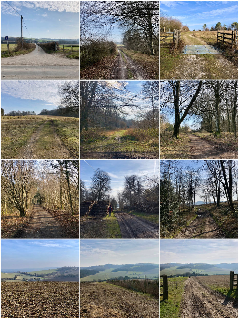
This lovely ramble utilises part of the disused Dyke railway line which ran from Hove up until 1938, and is now a walkway that gently climbs up onto the South Downs, The walk begins from Hangleton Valley Drive close to the Manor, up past the Norman built St. Helen’s church, then further on up the road to reach the entrance to the Dyke Railway Trail on the left. The woodland sheltered Tarmac path crosses the A27 via a footbridge from where a panoramic view as far as Truleigh Hill and Hangleton Round Hill begins to unfold.
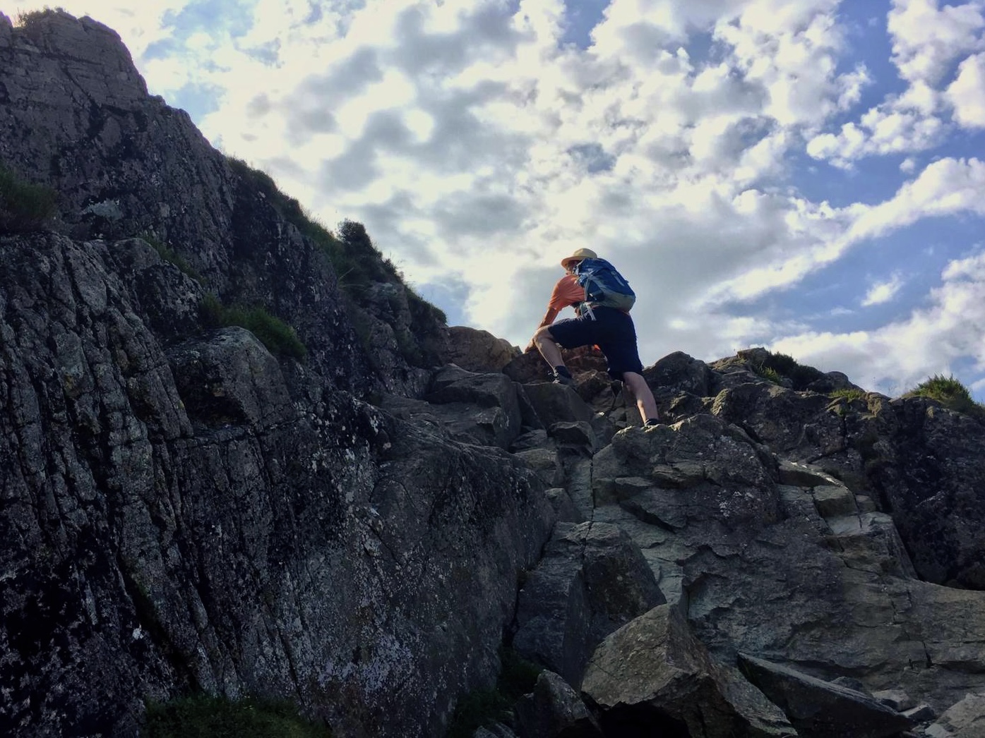
The path continues on and veers to the right to pass the white single storey Clubhouse of the Brighton and Hove golf course and then takes a sharp left northwards to head for Devils Dyke. The straight path brings further views across the Downs, farmland and back towards the English Channel and Hove itself. As the summit approaches, the old railway terminus can be spotted to the left now converted into dwellings, Taking the verge path on the east of the Brighton road and passing the imposing Dyke golf course clubhouse, the path takes a sharp right to cross The South Downs Way and shortly after, look over Devils Dyke. This deep riverless ravine is said to have been carved by the devil to allow the sea to flood the churches of the Weald. In fact up until 1909, an aerial cableway supported by twin towers used to provide an incredible ride across the ravine.

Continuing on to the restaurant and bar near the summit of Dyke Hill, a vast panorama opens up to the north and west, one of the very best views across Sussex. The path switches west to follow the ridge passing through ramparts and then eventually a gate, after which the route turns sharp left into a grass field alongsifde the boundary fence. After a few hundred meters the route turns right across the field to meet up with two paths again from the right and a substantial gate which then accesses a very straight compressed gravel and grass track heading directly south towards Hove. The 3km path takes in Mount Zion (trig point) with extensive views of both Brighton and Hove and then onto a bridleway bridge crossing the A27 to arrive at Foredown Tower, a converted water tower with visitor centre and camera obscure.
The final stage of this lovely walk descends back into Hangleton via the Benfield valley and Fox Way, to arrive at the Manor for a timely lunch and well earned restorative: a very comfortable and friendly popular pub.


Comments